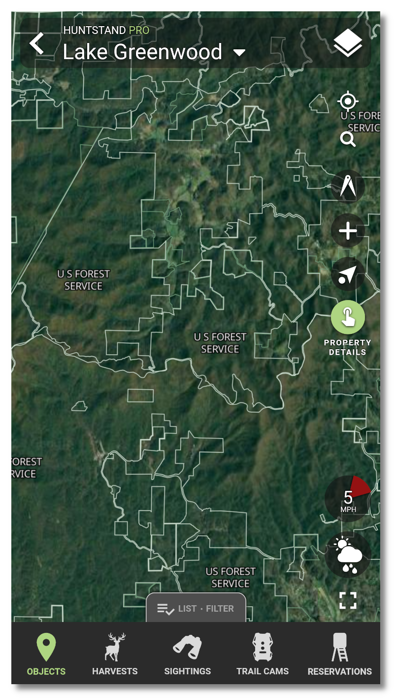
Updated Nationwide Property Data and Feature Improvements
HuntStand already offers the industry's most affordable nationwide private and public lands data, now we are making it even easier to use this data within HuntStand Pro.

- The "Property Info" tile now displays owner names overlaid on the related parcels
- Updated 2022 owner names and boundaries for private and public land parcels
- Parcel borders now differentiate owner type: individuals (green boundary) vs companies/organizations (white boundary)
- View property address and Owner mailing address
- View property area and perimeter
- Save and share boundaries
- Search for parcels by address or coordinates
- Available on iOS, Android, and Web

Upgrade to HuntStand Pro for access to unlimited nationwide parcel boundaries and ownership info
Coverage for the United States and Canada
HuntStand offers property boundaries and property ownership info for 99% of the US, and property boundaries for much of Canada. Tap below to view our coverage map.