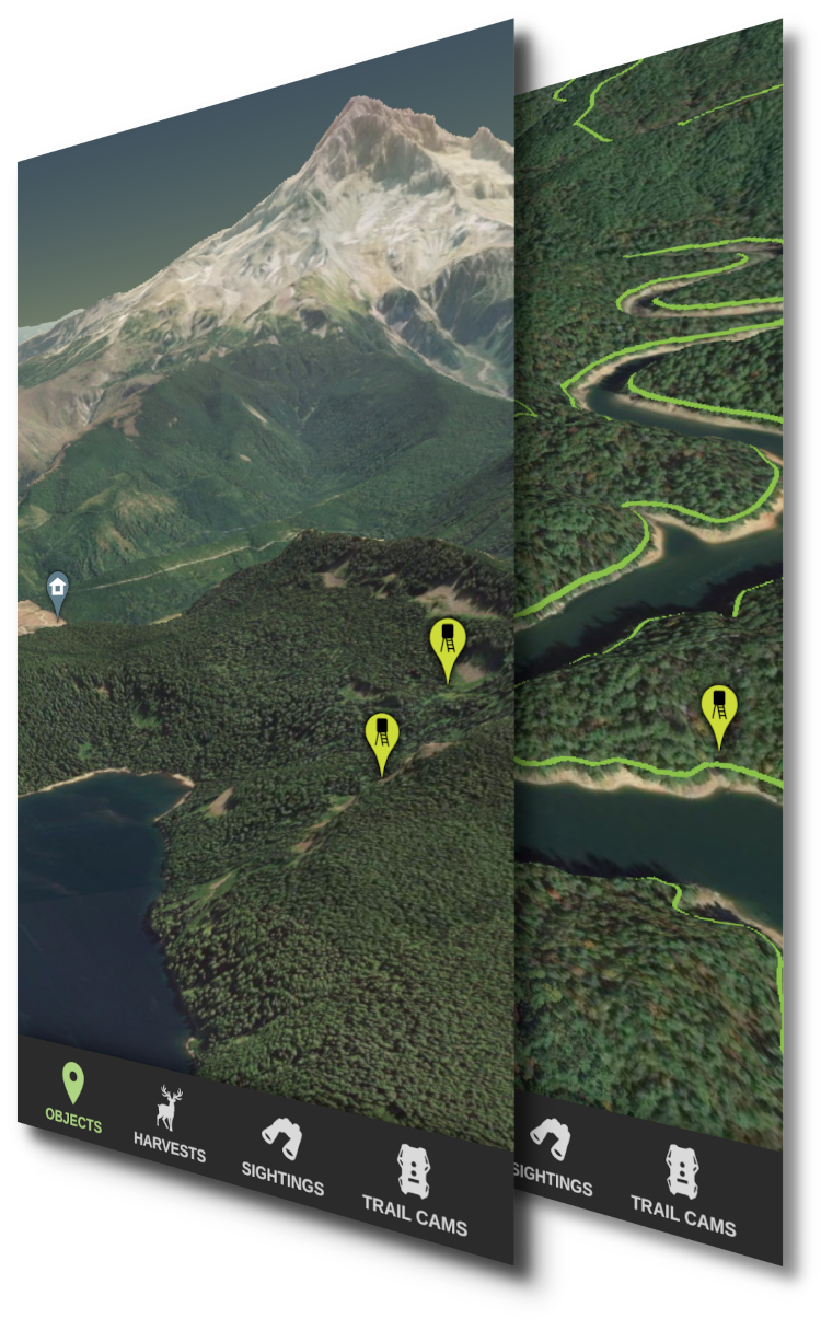
3D Mapping
Upgrade to HuntStand Pro for access to high resolution 3D maps- Dynamic interactive 3D maps
- High resolution Google Maps imagery
- High accuracy elevation model
- Available on iOS, Android, and Web

Coverage for the entire planet
HuntStand offers 3D maps for all of planet earth, available to all HuntStand Pro subscribers.
View and share stands, trails, and boundaries in 3D
Research accessibility when planning a hunt in rugged terrain
Understand property boundaries as they relate to slope and elevation
Explore diverse terrain and view features hidden by 2D maps